

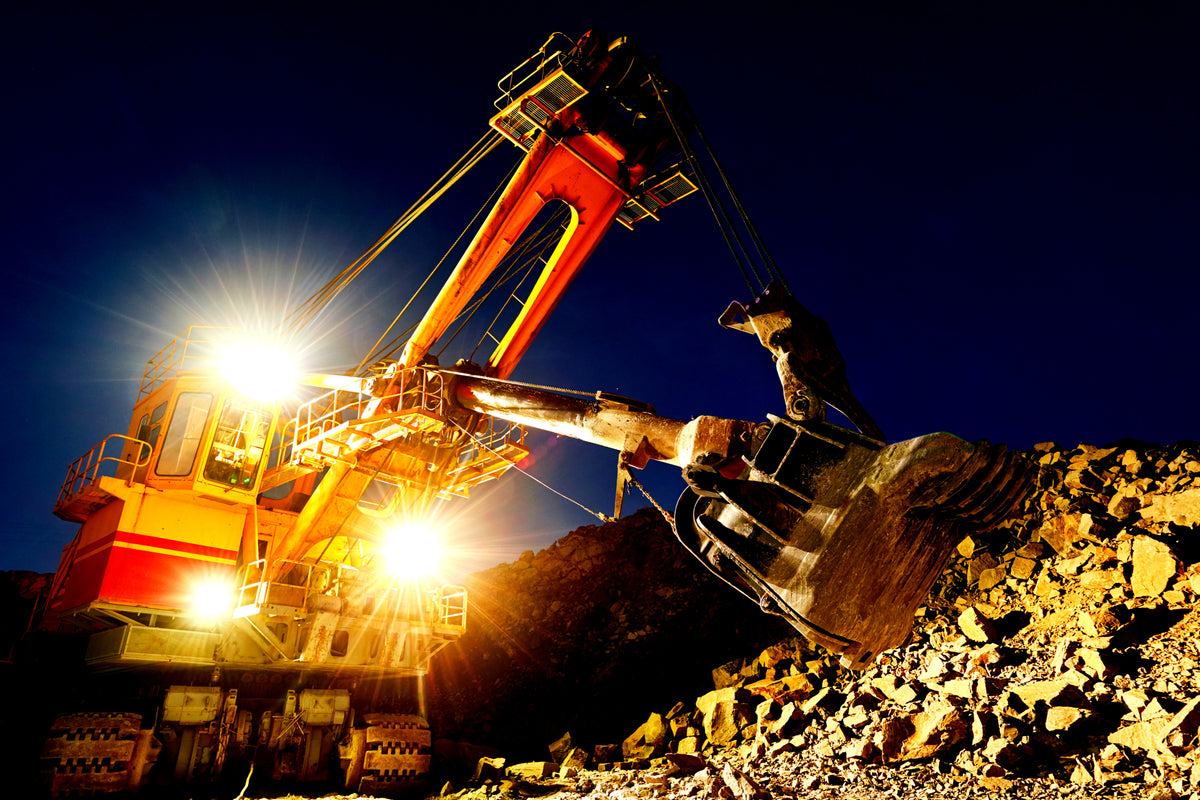
TECHNOLOGY-POWERED MINING
.
MINING
.
Our "Deposit Location Analysis" exploration-assistance targets materials utilized in Laptops, Smartphones & EVs and accommodates rare-earth elements & precious metals (platinum, palladium, rhodium, gold & silver), iron, bauxite, cassiterite/tin, copper and lithium as well as Oil & Natural Gas.
.
- Satellite shots provide a 2D "preliminary" survey which shows where on a parcel deposits are located and at roughly what depths.
.
- GPS-based sensors then enable us to provide a more comprehensive "on-site" 3D-subsurface tomography survey for our clients that seek additional visibility (beyond our preliminary 2D survey).
.
Satellite-powered Deposit Location Analysis - Purchase Options
-
Subsurface Analysis Aerial-Survey™ featuring 1 Metal or Mineral or Element within an area covering 10 Square Miles (26 Square Kilometers)
![]()

- Vendor
- Satellite Mining™
- Regular price
- $790,000.00
- Sale price
- $790,000.00
- Regular price
-
- Unit price
- per
Sold out -
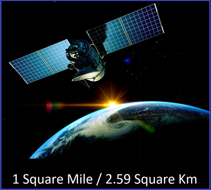
Subsurface Analysis Aerial-Survey™ featuring 1 Metal or Mineral or Element request within an area covering 1 Square Mile (2.6 Square Kilometers)
![]()
- Vendor
- Satellite Mining™
- Regular price
- $118,000.00
- Sale price
- $118,000.00
- Regular price
-
- Unit price
- per
Sold out -
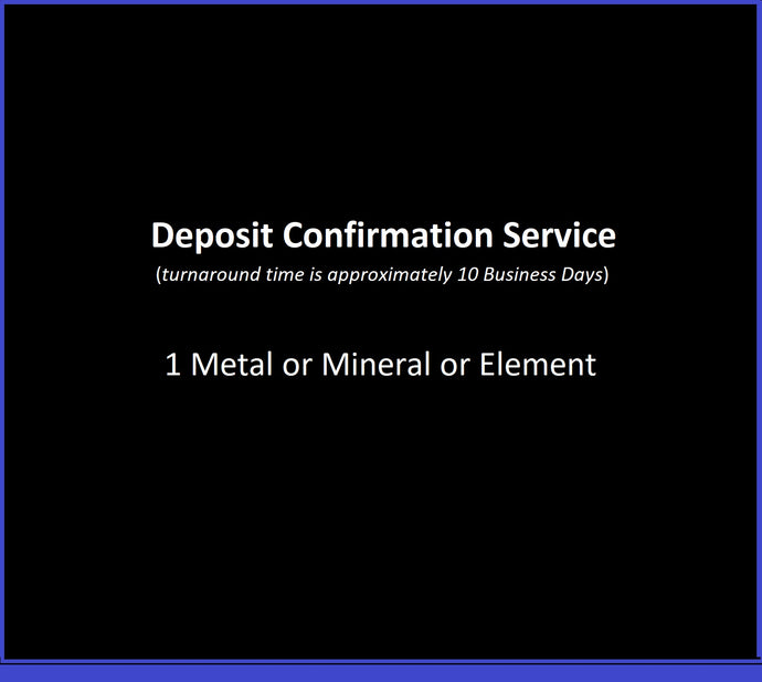
Deposit Confirmation Service™ for 1 Metal or Mineral or Element on a 1 Square Mile parcel
![]()
- Vendor
- Satellite Mining™
- Regular price
- $10,000.00
- Sale price
- $10,000.00
- Regular price
-
- Unit price
- per
Sold out


