

Subsurface Analysis Aerial-Survey™
The results show where on the property the metal. mineral or element is located.
Knowing where deposits are located reduces the use of "open pit" operations and benefits the environment while reducing operational costs (e.g. reduction of fuel usage, quantity of heavy machinery needed, other drilling equipment requirements, etc) and speeding extraction timelines.
Turnaround Time
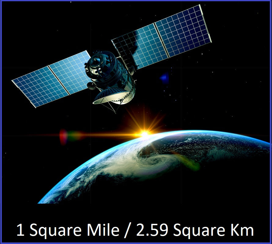
Turnaround Time for a Subsurface Analysis Aerial-Survey™ is approximately 2 Months (7 to 10 weeks) from receiving Datum GPS coordinates for the 1 Square Mile (640 Square Acres/2.6 Square Kilometers) and entering into a signed agreement.
Terms
50% of the agreed upon fee is due on signing of the engagement agreement and 50% is due on delivery of the results that depict where on the property/parcel the mineral or element is located.
Follow Up "On-Site" Surveys
On-Site Surveys™ - our team of geologists visits your property - are available at an additional cost and typically take an additional 4 to 6 weeks to complete after delivery of the Subsurface Analysis Aerial-Survey™.
On-Site Surveys™ provide precise locations and more precise depths of deposits and veins [Subsurface Analysis Aerial-Surveys™ will state if deposits and veins are above/shallower than approximately 100 Yards (90 Meters) or approximately below/deeper than 100 Yards (90 Meters)].
The completed On-Site Survey™ results can reduce the number of traditional drill holes by 80% to 90% in many cases, expediting extraction times, reducing costs, improving ROI as well as limiting the amount of earth moved in turn greatly benefiting surrounding ecology compared to traditional methods.
Suggested drilling paths and angles are also suggested based on fault-line analysis to improve drilling efficiency and safety.